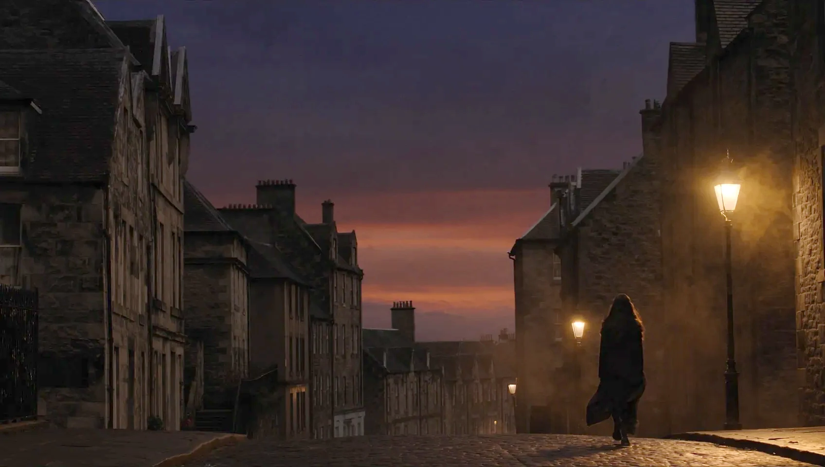
Edinburgh, after dark
Every council knows where its lamps are. Nobody measures the light on the pavement.
Leerie turns a phone into a street light meter, maps how dark each street really is, and tells the council which ones to fix first.
Step 1 · Walk
Any phone becomes a light meter.
Point the camera ahead and walk. Leerie reads the shutter speed and ISO to undo auto-exposure, and keeps one number a second. The picture never leaves the phone.
Step 2 · Map
Mapped street by street.
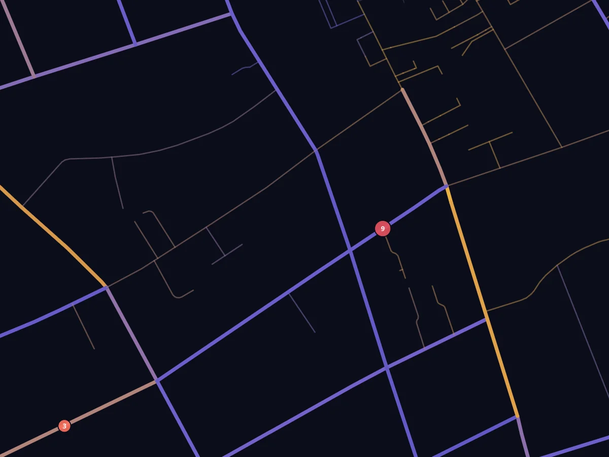
See where we measured light across Edinburgh and where nearby readings support an estimate.
See the mapWhy it matters
After dark, the same street is a different street.
of women felt unsafe walking alone after dark on a quiet street near home, compared with 17% of men.
ONS, Great Britain, 2022of women felt unsafe walking alone after dark in a park or open space, compared with 42% of men.
ONS, Great Britain, 2022of women in Scotland felt safe walking alone in their neighbourhood after dark, compared with 90% of men.
Scottish Household Survey, 2025of women aged 16 to 34 reported catcalling in the previous 12 months.
ONS, Great Britain, 2022A randomised trial in New York City public housing estimated that extra lighting reduced serious crimes outdoors at night by at least 36%.
A lamp inventory shows where the posts are. Measurements can reveal where a failed lamp, a tree or a long gap between posts leaves the pavement dark. Chalfin et al., NBER
How it works
A phone, a walk and a map a council can act on.
- 01
Walk
Open the app, point the camera ahead and walk. Leerie undoes auto-exposure with the camera's own shutter speed, ISO and aperture, the method the phyphox lab app uses, and uploads one reading a second with its GPS point. Comfortable and Uncomfortable buttons record how a street feels.
- 02
Map
Readings are matched to OpenStreetMap streets and compared with nearby measurements. A street at +1 stop has twice the light of its local median. Where nearby readings support an estimate, unmeasured streets appear faded.
- 03
Decide
Draw an area and set a budget. Leerie maps proposed lamp sites, estimates their effect, and exports the coordinates. It also highlights lighting hotspots and streets worth surveying next.
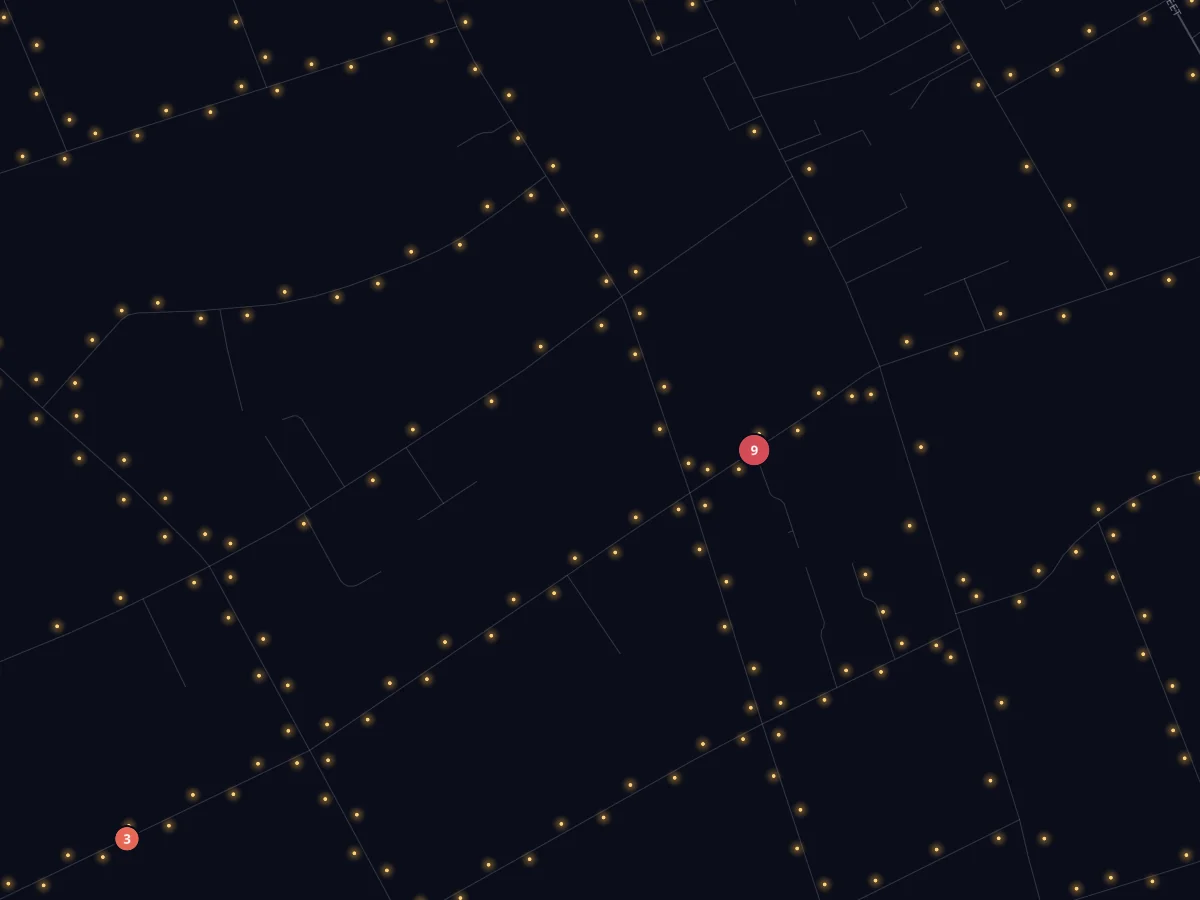
The lamp map vs the light map
A lamp on a map is not light on the pavement.
George Square to King's Buildings
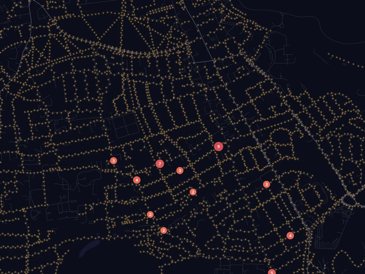
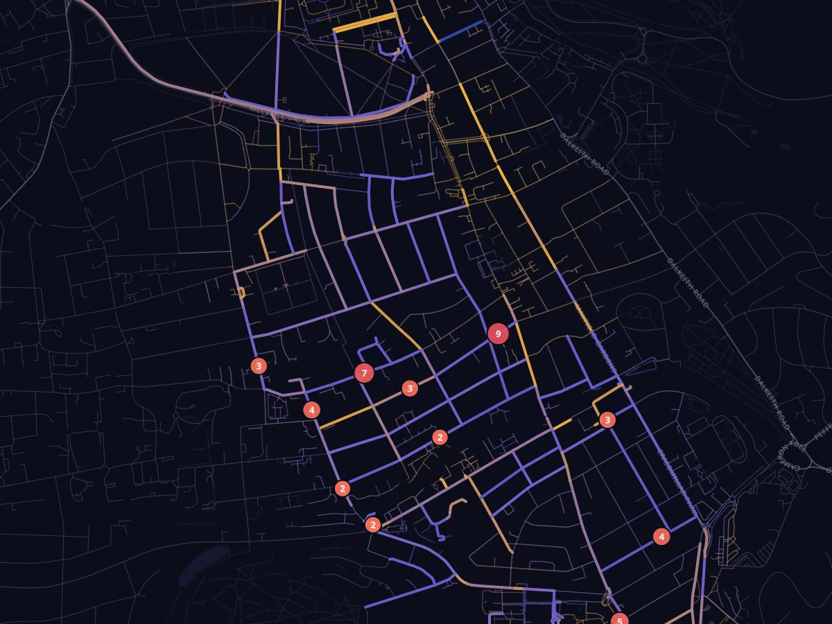
Around Findhorn Place
Night survey
One night mapping Edinburgh.
“O Leerie, I'll go round at night and light the lamps with you!”
Robert Louis Stevenson, The Lamplighter, 1885. Leerie was the man who lit Edinburgh's gas lamps each evening. We took that idea back to the streets with a phone light meter.
Privacy
It measures streets, not people.
- No photos
- Frames are reduced to one brightness number on the phone and thrown away.
- No accounts
- Each walk gets a random ID. There is no name, email or phone number.
- Write-only app
- The app can add readings but cannot read anyone's, including its own.
- Streets, not people
- The map shows per-street summaries. Nobody's path or individual report is ever shown.
Brightness is relative, not lux. A brighter street is not a promise of safety, and Leerie does not predict crime.